I took the day of from riding so it is time to update the blog with some stats and pictures. I miss high speed internet - upload speeds from the local Starbucks is a limiting factor (500kb/sec) which makes uploading photos seem like life during the AOL era.
Here are some interesting stats from my first 10 days:
- Total miles ridden: 2528
- Number of bears seen: 1
- Number of caribou seen: 3
- Number of bear and caribou crossing signs seen: eleventy bazillion
- Nights camped: 4
- Number of times I got caught in the rain while riding: 2
- Number of times I thought "I should stop to take a picture of this but there is no good place to pull over": too many to count
Over the past few days, I've noticed that it is gorgeous just about everywhere you look.
Here's a summary of day #8:
August 4th, 2007 a.k.a. Day #8: Smithers, BC to Kinaskan Lake Park via BC Route 37/The Stewart-Cassiar Highway
Here's a summary of day #8:
August 4th, 2007 a.k.a. Day #8: Smithers, BC to Kinaskan Lake Park via BC Route 37/The Stewart-Cassiar Highway
I logged 314 miles according to my odometer on day 8.
This leg is interesting because Smithers (population 5400) was the last 'city' for 3 days of the ride and there was no cellular service or public Wifi to be found. Wikipedia describes the Stewart/Cassiar highway as passing through the 'most isolated' parts of British Columbia.
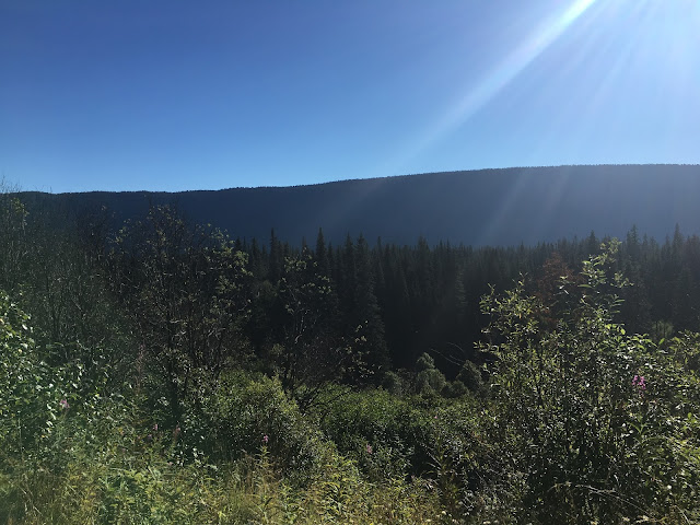
It is about an hour's drive from Smithers to Rt 37. I took this shot from a rest stop off of Rt 16:
I wanted to fuel up before embarking along the route and on the way to the gas station I assumed that it would be time for me to purchase a spare fuel tank since the maps app on my phone was aware of only once gas station along Rt 37 and this single gas station was too close to comfort to my bike's 400km/250mi range. When I arrived at the gas station I was greeted by this sign:
Fortunately right next to it was this table explaining that there were indeed more that one fueling station so I could safely postpone purchasing the spare tank for the time being.
Lunch was a 'Dirty Biker Burger' at Cafe 37 - a Harley biker themed bar/restaurant near the southern end of Rt 37 in Kitwanga. It was damn good.
Here are some shots taken along Rt 37. The views were breathtaking just about the entire time.
I got to the campground after dark so no photos of camp from that night. I'll upload those later.
No phone or internet for a few days was a bit unsettling. I've become too reliant on tech to get around.
That's all for now.
This leg is interesting because Smithers (population 5400) was the last 'city' for 3 days of the ride and there was no cellular service or public Wifi to be found. Wikipedia describes the Stewart/Cassiar highway as passing through the 'most isolated' parts of British Columbia.
It is about an hour's drive from Smithers to Rt 37. I took this shot from a rest stop off of Rt 16:
I wanted to fuel up before embarking along the route and on the way to the gas station I assumed that it would be time for me to purchase a spare fuel tank since the maps app on my phone was aware of only once gas station along Rt 37 and this single gas station was too close to comfort to my bike's 400km/250mi range. When I arrived at the gas station I was greeted by this sign:
Fortunately right next to it was this table explaining that there were indeed more that one fueling station so I could safely postpone purchasing the spare tank for the time being.
Here are some shots taken along Rt 37. The views were breathtaking just about the entire time.
I got to the campground after dark so no photos of camp from that night. I'll upload those later.
No phone or internet for a few days was a bit unsettling. I've become too reliant on tech to get around.
That's all for now.


No comments:
Post a Comment